See also →
Weather effects
Home > Services > Embedded SW Development > 3D Digital Terrain Model
3D Digital Terrain Model on Embedded Systems
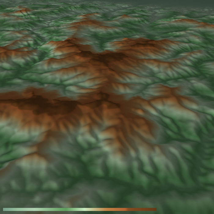
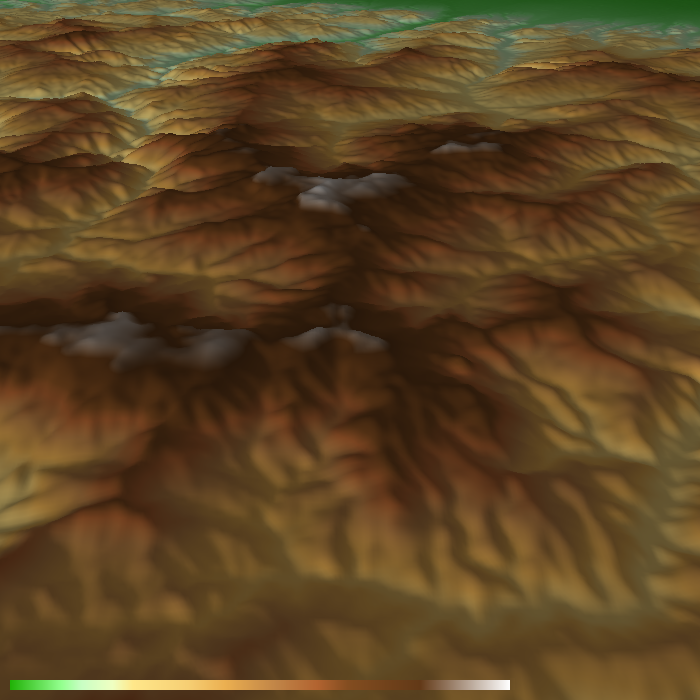
This page demonstrates our implementation of Digital Terrain Model on embedded systems with OpenGL ES support. It is able to visualize Digital Terrain Model together with navigation data such as roads, railroads, areas, city names, POI icons.
Implementation was done in C++ language and has been highly optimized for embedded systems with limited resources.
Features
- Free 3D terrain data from Shuttle Radar Topography Mission (SRTM)
- Customizable elevation textures (color dependent on altitude)
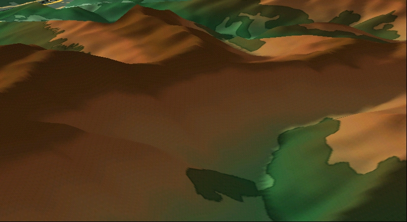
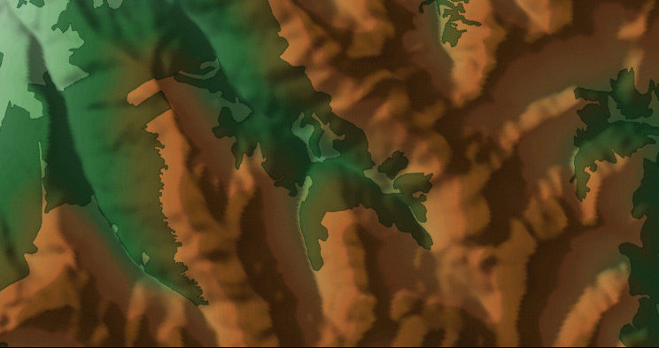
- Ballancing performance and visual quality by LOD
- further meshes use simpler terrain grid - left picture less quality, right picture better quality
- further meshes use lower resolution elevation textures - left picture less quality, right picture better quality


- Improvement of visual quality by Mipmaps
- Display of MAP elements with real terrain altitude
- Possible support of realistic lightening (e.g. real sun movement)


Platforms:
- Windows CE - custom head units for OEMs,
- Linux - TI ZOOM2.
Highlights
- Integration of 3D digital terrain map with navigation map data,
- Highly optimized for performance on embedded devices,
- Portable on various platforms,
- Configurable visual style.
Eccam s.r.o.
Krakovská 911000 Praha
Czech Republic (EU)
+420 242 441 347
Company
- Home
- About
- Jobs
- References
- Contact
Products
- ReqView
© 2022 Eccam s.r.o.